Key Takeaways
- Headwall Photonics and GRYFN announce a strategic partnership to integrate hyperspectral imaging hardware with advanced data processing software.
- The joint solution targets applications in agriculture, environmental monitoring, natural resources, and defense.
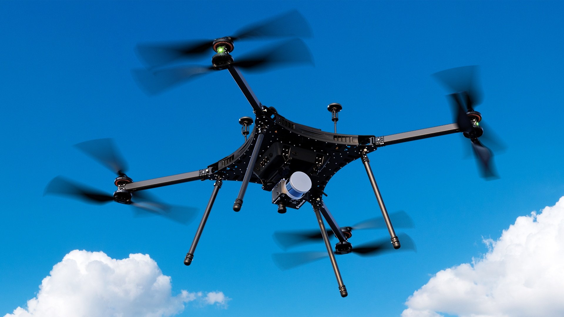
- The GRYFN Processing Tool will now be offered with Headwall systems to support UAV-based hyperspectral, LiDAR, and GNSS data integration.
- The solution reduces reliance on ground control points through geometric calibration technology.
- The partnership aims to improve data accessibility, streamline workflows, and support real-time decision-making.
Headwall Photonics’ Strategic collaboration to improve remote sensing workflows
Headwall Photonics, a provider of hyperspectral imaging systems, and GRYFN, a company specializing in multi-modal sensing solutions, have entered into a strategic partnership designed to improve the usability and precision of hyperspectral data collection and analysis.
The collaboration combines Headwall’s imaging technologies with GRYFN’s software and calibration capabilities, offering a comprehensive remote sensing solution tailored for research and industry applications.
“This partnership unites two industry leaders to provide a complete airborne sensing solution,” said David Blair, Vice President and General Manager of Remote Sensing at Headwall.
Focused on high-impact sectors
Industries benefiting from the integration
The integrated solution is intended to serve a range of sectors including:
- Agriculture, for monitoring crop health and variability
- Natural resources, for mapping and analysis
- Environmental monitoring, including water and vegetation studies
- Defense, for surveillance and situational awareness
The streamlined system enables real-time decision-making by simplifying the acquisition and processing of hyperspectral and other geospatial data.
Software and calibration integration
GRYFN Processing Tool enhances usability
As part of the agreement, Headwall will include access to the GRYFN Processing Tool, a software solution that integrates data from UAV-based hyperspectral sensors, LiDAR, and GNSS systems. Features of the tool include:
- Job management
- Automated workflows
- Efficient multi-modal data processing
Additionally, GRYFN’s geometric calibration technology enables high-precision analytics without the use of ground control points, specifying essential parameters such as sensor characteristics and platform positioning.
“With increasing demand for hyperspectral data that is both high-quality and easy to use, our integrated approach ensures that customers get the best of both worlds,” said Matt Bechdol, CEO of GRYFN.
Supporting scalable and accurate data use
The partnership aims to lower the barrier to entry for research institutions, government agencies, and commercial users who require accurate, repeatable, and efficient remote sensing solutions. By automating complex steps and improving data fidelity, the collaboration supports multi-temporal analytics and scalable field operations across diverse geographic regions.


