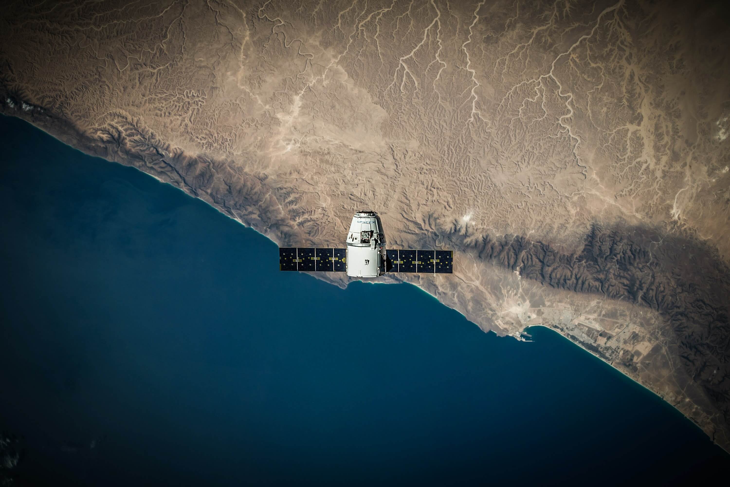
Austria is taking an innovative approach to monitoring the conditions of its agriculture sector, with plans to use satellite technology to keep track of billions in EU subsidies provided under the Common Agricultural Policy (CAP). The aim is to make monitoring area-based support measures within the CAP easier and more efficient by using satellite image data.
The European Space Agency’s Sentinel missions will provide satellite data, allowing automatic recognition of farm plots, crops, and potential discrepancies. If the satellite images and the information a farm offers do not match, a manual check is required, simplified by a particular app developed by AgrarMarkt Austria. The app allows farmers to send georeferenced pictures of their fields as proof, reducing the need for on-site inspections by the authorities and thus facilitating the process.

Bernhard Eder from AgrarMarkt Austria believes that using satellite technologies can serve as a model for other EU countries facing similar challenges in implementing the CAP. Furthermore, satellite data is expected to improve transparency and accountability in distributing EU subsidies for agriculture, making the system more efficient and reducing the risk of fraud.
However, as highlighted by EURACTIV, some hurdles still exist to overcome, such as acceptance among farmers with less digital skills and data protection concerns. Eder believes these issues can be addressed by offering alternative communication channels and processing data anonymously.


4 Comments