Key Takeaways:
- Holistic Environmental Insight: The IFAD’s ABC-Map tool utilizes satellite data to provide comprehensive environmental assessments without needing on-the-ground data collection.
- Multi-faceted Mapping Capabilities: Combining satellite imagery with global datasets, the tool allows for detailed, color-coded mapping of adaptation, biodiversity, and carbon metrics.
- Cost-Effective Data Collection: The ABC-Map reduces the expenses and complications associated with traditional data-gathering methods by leveraging satellite technology.
- Real-Time Impact Analysis: This tool enables ongoing evaluation of environmental interventions, helping IFAD and its partners monitor and adjust strategies in real time.
- Accessible and Open-Source Platform: ABC-Map is freely available, offering an invaluable resource for organizations worldwide to enhance their environmental and developmental projects.
Mapping Sustainable Development
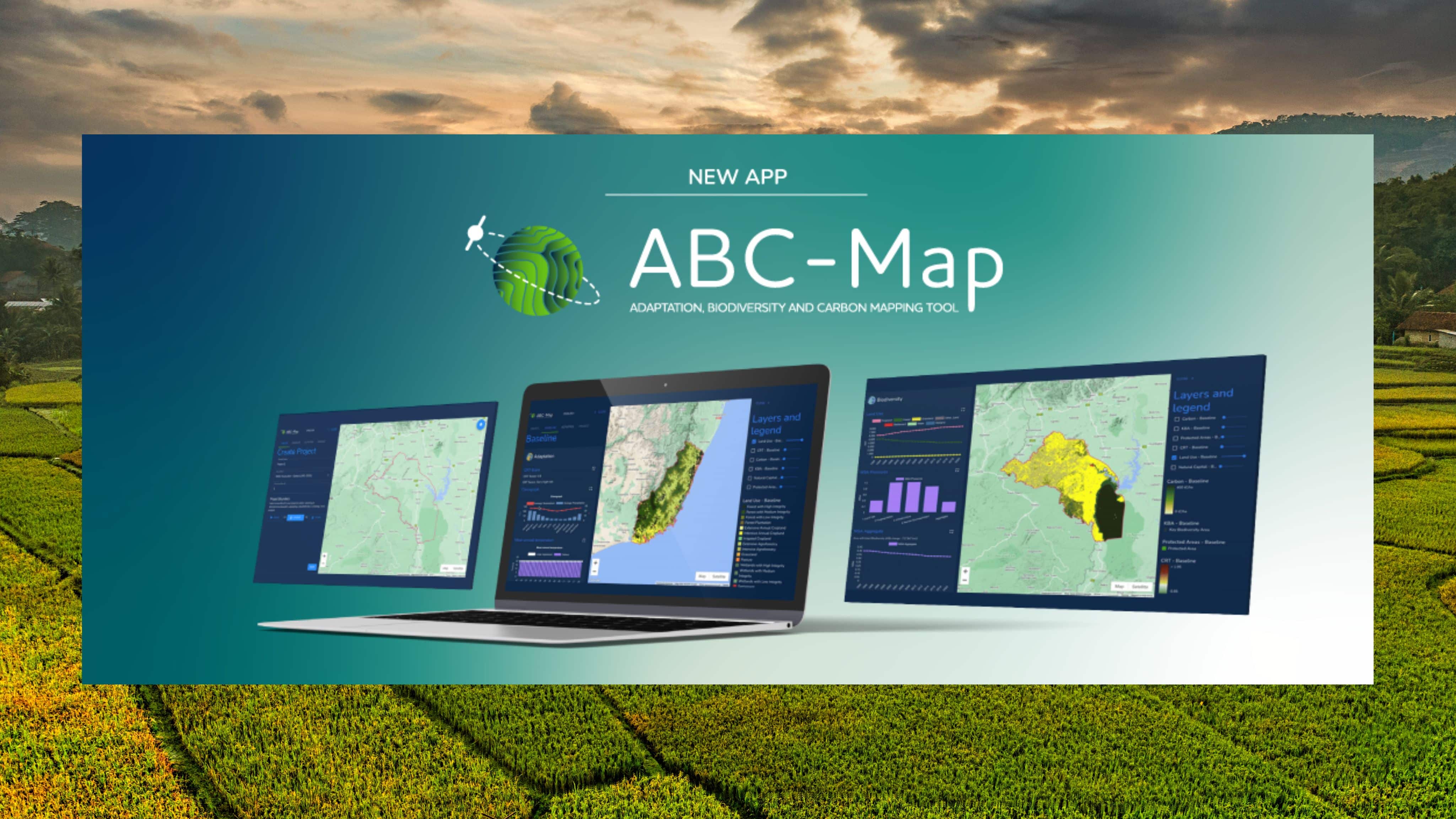
The Adaptation, Biodiversity, and Carbon Mapping Tool (ABC-Map), launched by the IFAD-hosted Agri-PBD Platform, represents a groundbreaking approach to environmental monitoring. This tool employs the powerful engine behind Google Earth to merge satellite data with extensive global datasets on land cover and climate, resulting in dynamic, color-coded maps rich in detail and scope. Users can explore various geographical areas through three distinct lenses:
- Adaptation: Tracks climate risks and the ongoing impacts of climate change.
- Biodiversity: Highlights biodiversity levels and natural capital to gauge ecological trends and threats.
- Carbon: Provides insights into greenhouse gas emissions, pinpointing areas of pollution that need conservation efforts.
This advanced mapping capability allows IFAD to strategically plan and assess the effectiveness of their projects from inception through to completion.
Enhancing Rural Development
Since its public release in 2024, the ABC-Map has significantly shaped IFAD’s project planning and impact assessment processes. However, its integration into IFAD’s initiatives began well before its official launch, proving its effectiveness in several field projects.
In Burkina Faso, the ABC-Map was instrumental in the Neer-Tamba Project. Initiated in 2019, this decade-long initiative aimed at sustainable land development showed positive results by 2023, with noticeable improvements in natural capital and biodiversity, validated by data from the ABC-Map.
Similarly, in Tajikistan, the tool was pivotal in designing the Community-based Agricultural Support Project Plus (CASP+). This project, focused on enhancing ecosystem resilience and boosting rural livelihoods, benefited from the precise land use mapping provided by ABC-Map, allowing targeted interventions in crucial areas projected to continue until 2030.
A New Perspective on the Planet
The ABC-Map is transforming how IFAD and its partners approach sustainable development. With each enhancement and update, the tool’s utility increases, providing even deeper insights into environmental impacts and the effectiveness of rural development strategies. As an open-access tool, ABC-Map invites users from around the globe to explore its capabilities and apply its insights to their own environmental and agricultural challenges, potentially reshaping how we understand and interact with our planet’s ecosystems.
Enjoyed this article? Share it with your network!
- Post
- Click to share on Threads (Opens in new window) Threads
- Click to share on WhatsApp (Opens in new window) WhatsApp
- Click to share on Telegram (Opens in new window) Telegram
- Click to share on Reddit (Opens in new window) Reddit
- Share on Tumblr
- Click to email a link to a friend (Opens in new window) Email
- Click to share on Bluesky (Opens in new window) Bluesky


